 NOAA weather near waypoint
or
wunderground
| WGS84 | |
| 36.547700 | -84.659200 |
| 36° 32.862'N | 84° 39.552'W |
| 36° 32' 51.7"N | 84° 39' 33.1"W |
| 16S 709519E 4047249N | |
| convert to NAD27 | |
MAPS
Select one of the following maps to display this waypoint (WGS84).
 NOAA weather near waypoint
or
wunderground
GPS
Remarks:
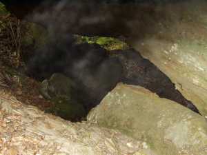
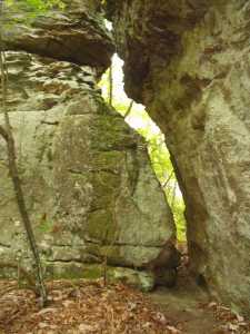
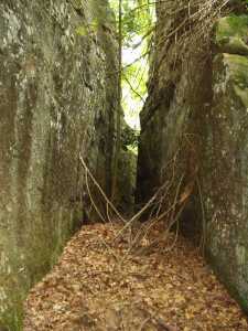
The cap rock has divided into seven or eight large pieces with narrow passages. The breakdown in the top of the south watershed has created several leaner/gravity arches. Off-trail.


