| WGS84 | |
| 35.247000 | -84.526100 |
| 35° 14.82'N | 84° 31.566'W |
| 35° 14' 49.2"N | 84° 31' 34"W |
| 16S 725091E 3903240N | |
| convert to NAD27 | |
MAPS
Select one of the following maps to display this waypoint (WGS84).
GPS
Remarks:
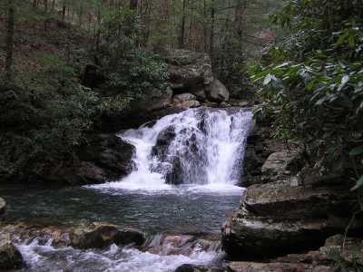
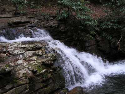
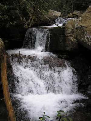
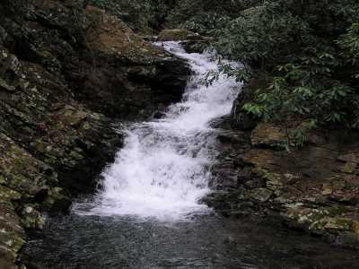
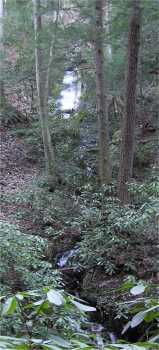
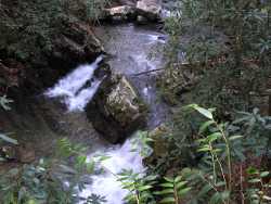
Trail: CNF 191
Several falls and cascades in the Gee Creek Wilderness canyon. The upper valley has some wet-weather feeder cascades.
 upper falls, off trail
35.25357 -84.51797
upper falls, off trail
35.25357 -84.51797
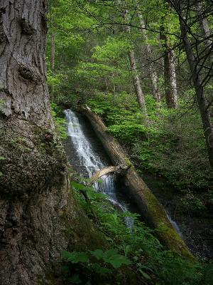 upper falls, 60',
35.248837,-84.519945, Brian Solomon photo
upper falls, 60',
35.248837,-84.519945, Brian Solomon photo