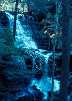
 Photo by Gregory Plumb, Author of
Waterfalls of Tennessee
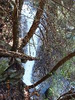
Photo by Gregory Plumb, Author of
Waterfalls of Tennessee
| WGS84 | |
| 35.436000 | -85.693600 |
| 35° 26.16'N | 85° 41.616'W |
| 35° 26' 9.6"N | 85° 41' 37"W |
| 16S 618579E 3922179N | |
| convert to NAD27 | |
MAPS
Select one of the following maps to display this waypoint (WGS84).
GPS
Remarks:
Photo by Gregory Plumb, Author of
Waterfalls of Tennessee
Chuck Sutherland photo
Sharron Blackstock reports lower falls downstream. 35.43562,-85.69358
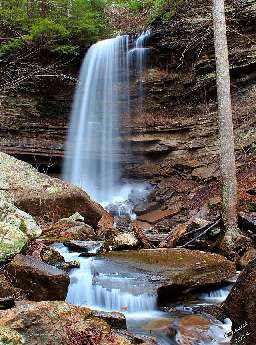 55' lower falls, Gary Conquest photo