Tennessee lookout towers | WGS84 |
| 35.47986 | -87.77132 |
| 35° 28.792'N | 87° 46.279'W |
| 35° 28' 47.5"N | 87° 46' 16.7"W |
| 16S 430028E 3926533N |
| convert to NAD27 |
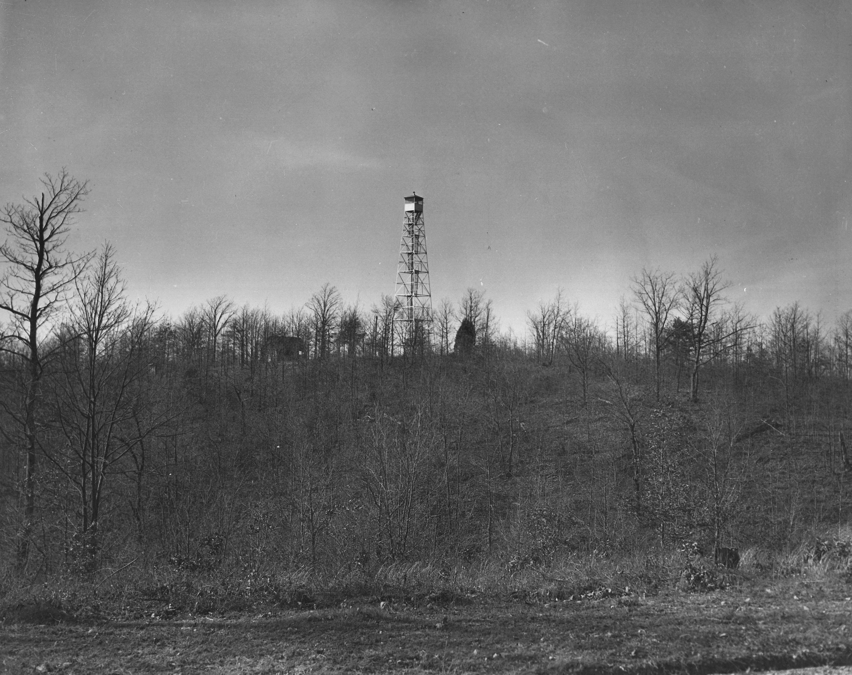
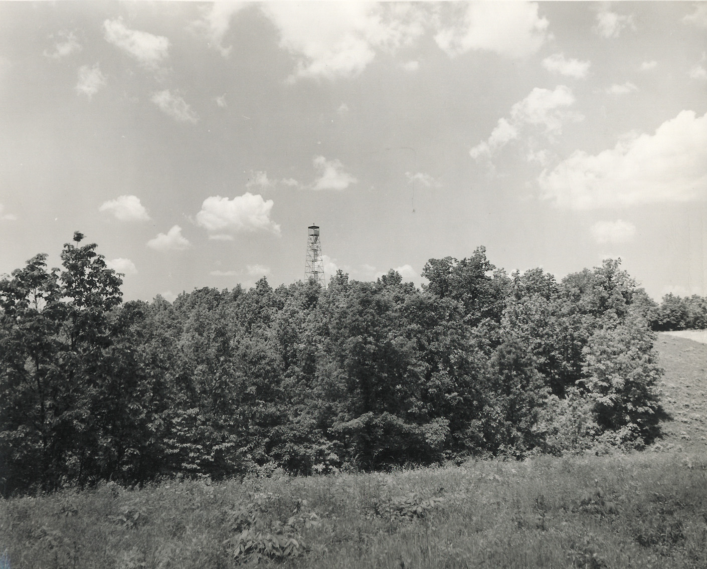
Flat Woods
Waypoint: WYT001 35.47986,-87.77132
County: Wayne
Elevation: 950'
Info: FD1595 7-20 standing
popup list of
nearby towers (mileage, bearing)
or
nearby landforms
MAPS
Select one of the following maps to display this waypoint (WGS84).
GPS
Remarks:
1942 photo and
1950 photo
Tennessee lookout towers

BSF landforms (TN/KY)
GSMNP landforms (TN/NC)
Tennessee landforms
home
arches
waterfalls
rocks
peaks
balds
sinks
lakes
regions
county
 ©
Tom Dunigan
©
Tom Dunigan