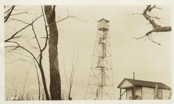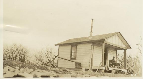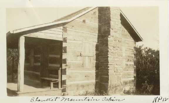

 1940's cabin
| WGS84 | |
| 35.62599 | -83.6116 |
| 35° 37.559'N | 83° 36.696'W |
| 35° 37' 33.5"N | 83° 36' 41.8"W |
| 17S 263490E 3945609N | |
| convert to NAD27 | |
MAPS
Select one of the following maps to display this waypoint (WGS84).
GPS
Remarks:
All that remains are footers, old chimney, and benchmark. Dutch Roth 1930 black & white and 1949 photo
1930 photos from NPS archives courtesy of Peter Barr


 1940's cabin