Tennessee lookout towers | WGS84 |
| 35.4649 | -84.0525 |
| 35° 27.894'N | 84° 3.15'W |
| 35° 27' 53.6"N | 84° 3' 9"W |
| 16S 767473E 3928594N |
| convert to NAD27 |
Cold Spring
Waypoint: MOT001 35.4649,-84.0525
County: Monroe
Elevation: 3155'
Info: FC1693 cnf removed
popup list of
nearby towers (mileage, bearing)
or
nearby landforms
MAPS
Select one of the following maps to display this waypoint (WGS84).
GPS
Remarks:
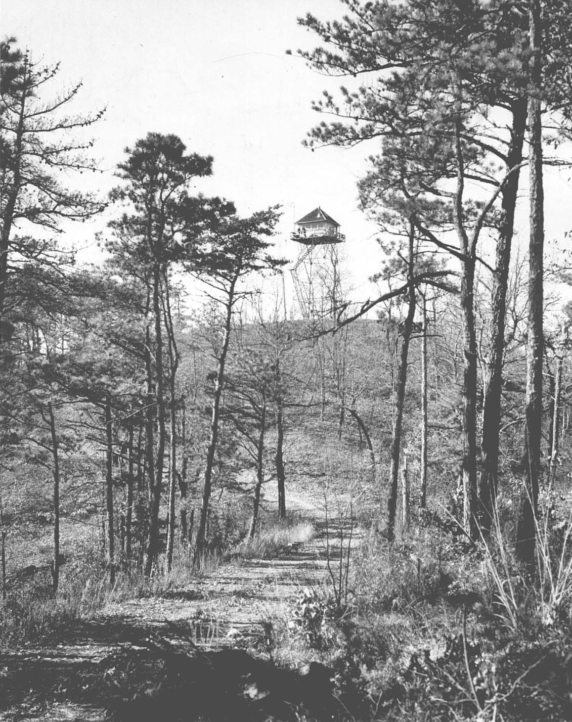
1939 photo
and
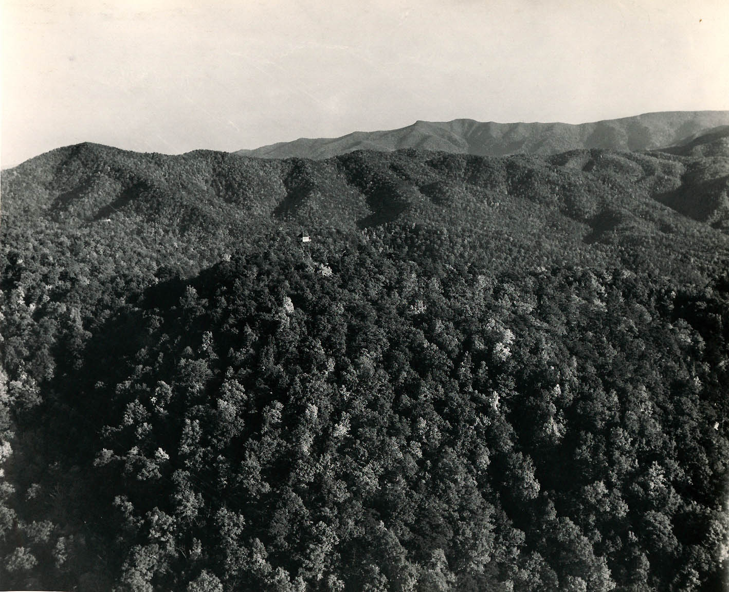
1950 photo
Tennessee lookout towers

BSF landforms (TN/KY)
GSMNP landforms (TN/NC)
Tennessee landforms
home
arches
waterfalls
rocks
peaks
balds
sinks
lakes
regions
county
 ©
Tom Dunigan
©
Tom Dunigan