Tennessee lookout towers | WGS84 |
| 36.50742 | -83.01988 |
| 36° 30.445'N | 83° 1.193'W |
| 36° 30' 26.7"N | 83° 1' 11.6"W |
| 17S 319115E 4042128N |
| convert to NAD27 |
War
Waypoint: HWT003 36.50742,-83.01988
County: Hawkins
Elevation: 2401'
Info: 1-5 standing
popup list of
nearby towers (mileage, bearing)
or
nearby landforms
MAPS
Select one of the following maps to display this waypoint (WGS84).
GPS
Remarks:
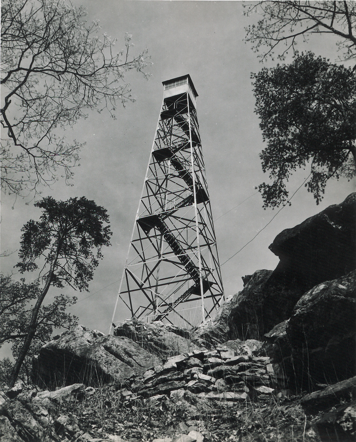
1947 photo
Tennessee lookout towers

BSF landforms (TN/KY)
GSMNP landforms (TN/NC)
Tennessee landforms
home
arches
waterfalls
rocks
peaks
balds
sinks
lakes
regions
county
 ©
Tom Dunigan
©
Tom Dunigan