Tennessee lookout towers | WGS84 |
| 35.8087 | -87.4819 |
| 35° 48.522'N | 87° 28.914'W |
| 35° 48' 31.3"N | 87° 28' 54.8"W |
| 16S 456463E 3962838N |
| convert to NAD27 |
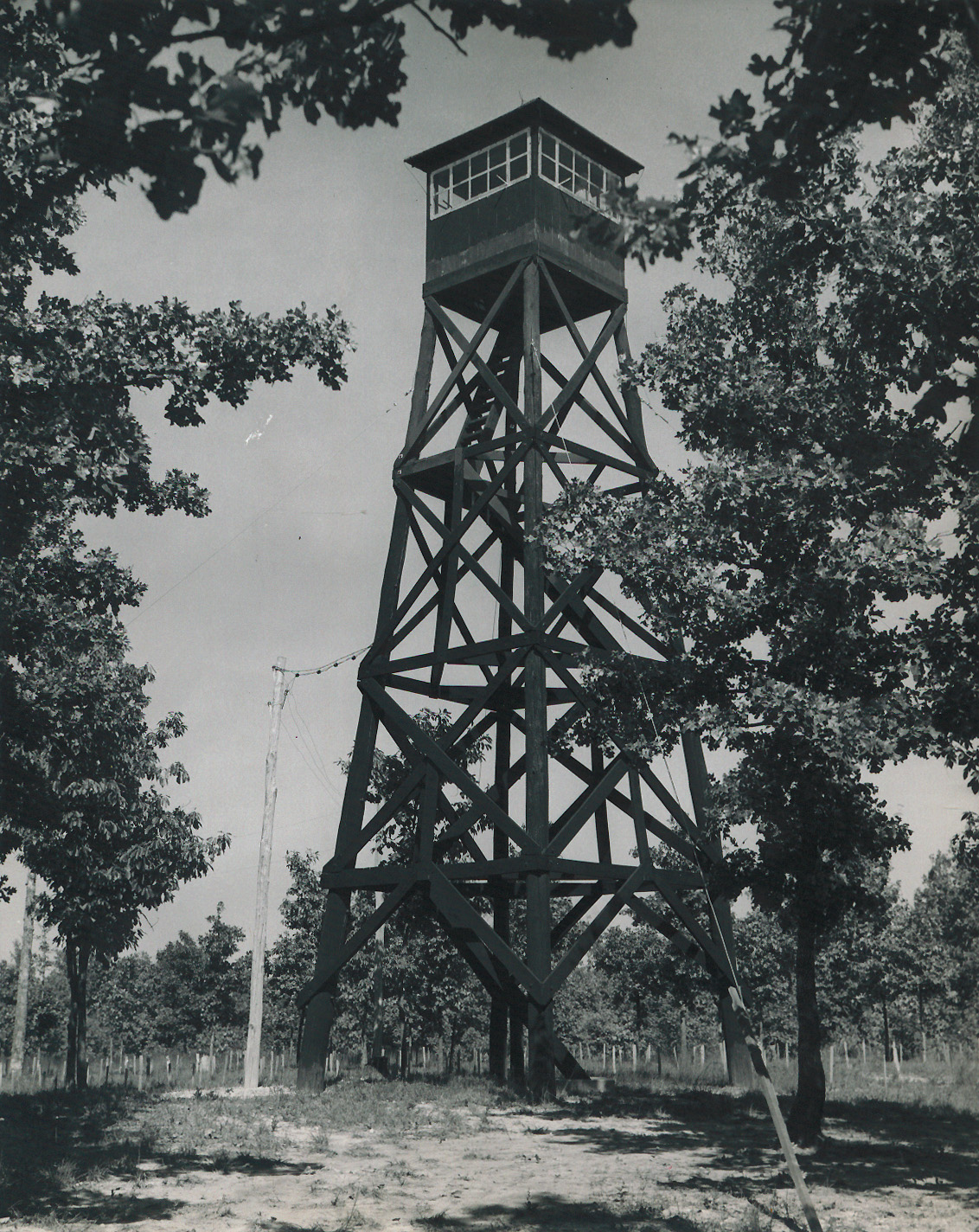
Moores Switch
Waypoint: HIT004 35.8087,-87.4819
County: Hickman
Elevation: 798'
Info: FD1528 7-9 standing
popup list of
nearby towers (mileage, bearing)
or
nearby landforms
MAPS
Select one of the following maps to display this waypoint (WGS84).
GPS
Remarks:
photo
and
1948 photo
Tennessee lookout towers

BSF landforms (TN/KY)
GSMNP landforms (TN/NC)
Tennessee landforms
home
arches
waterfalls
rocks
peaks
balds
sinks
lakes
regions
county
 ©
Tom Dunigan
©
Tom Dunigan