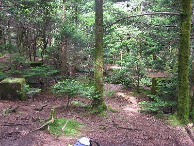 only footers and step base remain
| WGS84 | |
| 36.10479 | -82.1223 |
| 36° 6.287'N | 82° 7.338'W |
| 36° 6' 17.2"N | 82° 7' 20.3"W |
| 17S 398982E 3996155N | |
| convert to NAD27 | |
MAPS
Select one of the following maps to display this waypoint (WGS84).
GPS
Remarks:
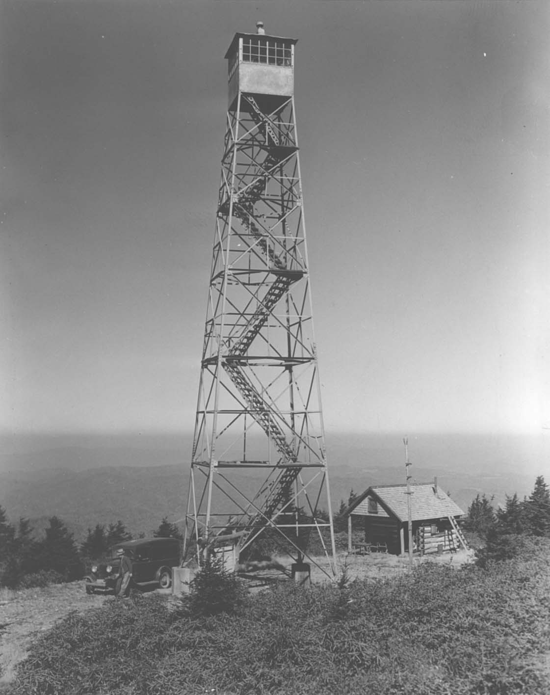
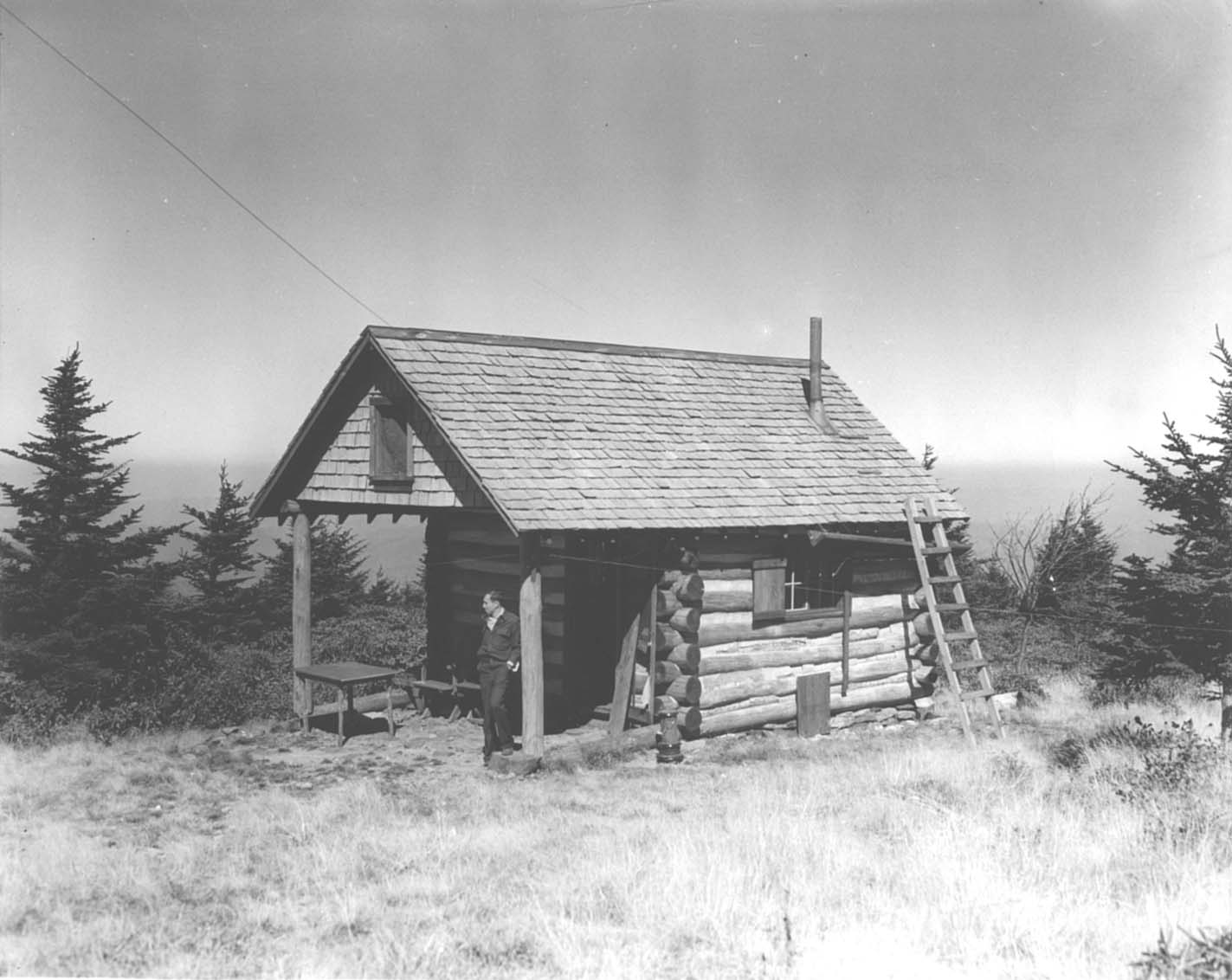
1938 photo (? really, doesn't look like topography of Roan High Knob?) and watchman's cabin and the old cabin is now a Appalachian Trail shelter and photos
only footers and step base remain