| WGS84 | |
| 35.7635 | -83.1613 |
| 35° 45.81'N | 83° 9.678'W |
| 35° 45' 48.6"N | 83° 9' 40.7"W |
| 17S 304612E 3959872N | |
| convert to NAD27 | |
MAPS
Select one of the following maps to display this waypoint (WGS84).
GPS
Remarks:
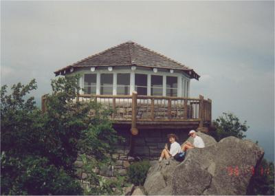
Rock tower along AT in GSMNP, also known as White Rock, see wikipedia and photo and Dutch Roth old black & white photos
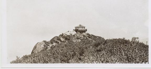 1938 photo from NPS archives courtesy of Peter Barr
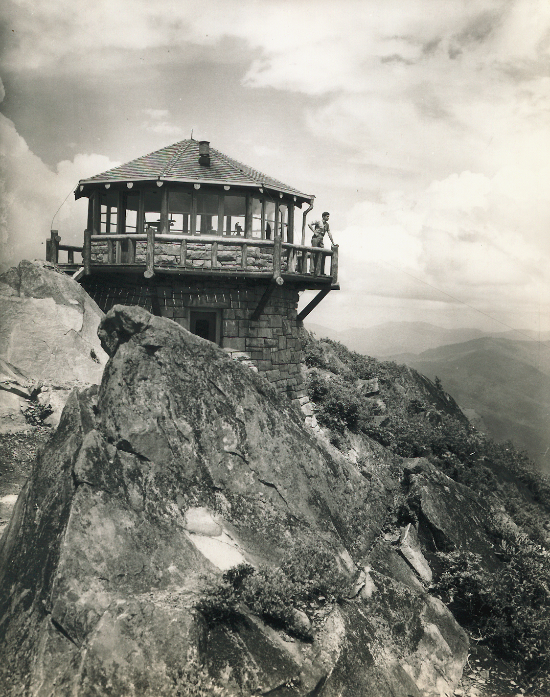 1940 photo