Tennessee lookout towers | WGS84 |
| 36.22878 | -87.12937 |
| 36° 13.727'N | 87° 7.762'W |
| 36° 13' 43.6"N | 87° 7' 45.7"W |
| 16S 488374E 4009333N |
| convert to NAD27 |
Petway
Waypoint: CHT002 36.22878,-87.12937
County: Cheatham
Elevation: 761'
Info: GC2550 6-10 standing
popup list of
nearby towers (mileage, bearing)
or
nearby landforms
MAPS
Select one of the following maps to display this waypoint (WGS84).
GPS
Remarks:
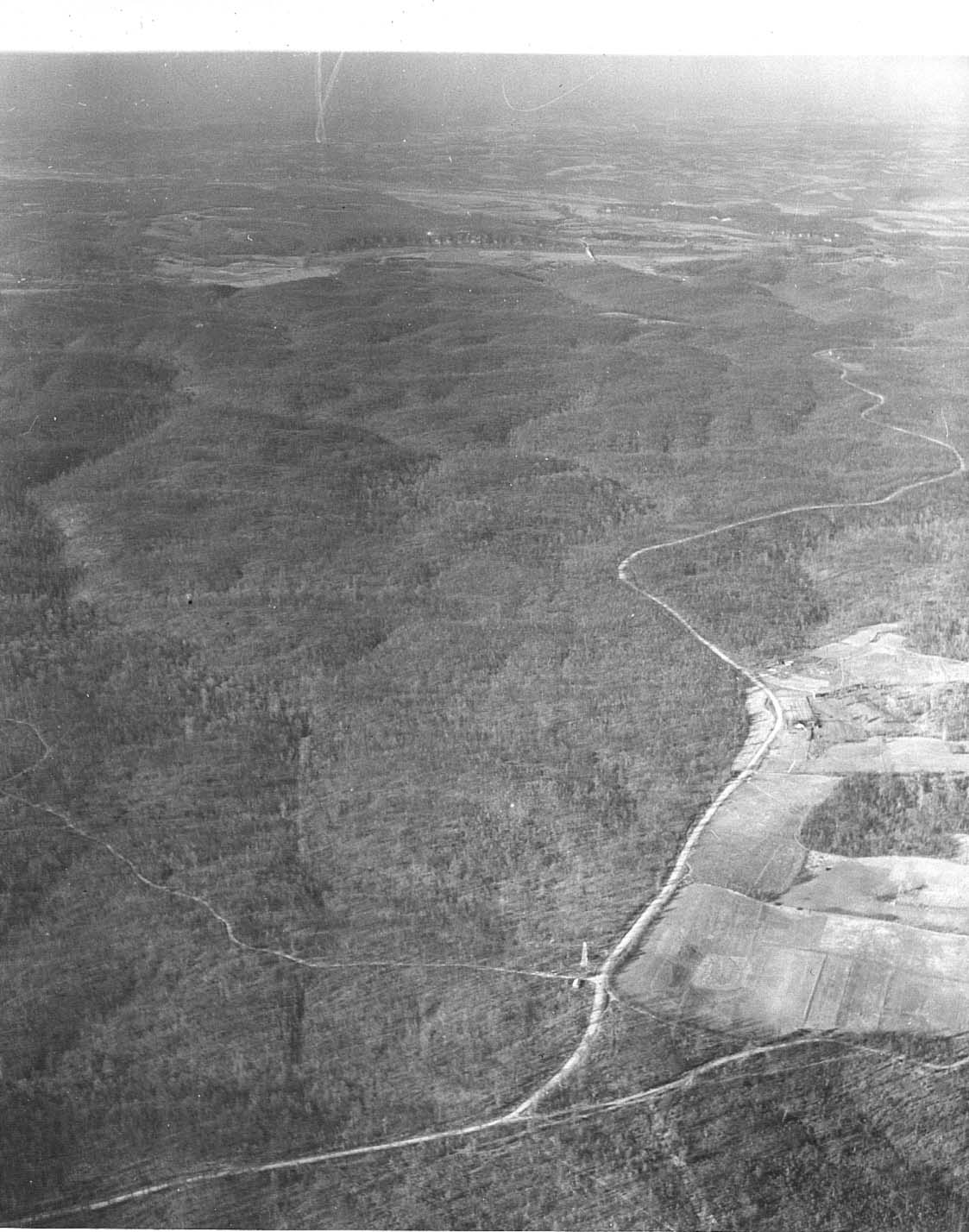
1939 photo
Tennessee lookout towers

BSF landforms (TN/KY)
GSMNP landforms (TN/NC)
Tennessee landforms
home
arches
waterfalls
rocks
peaks
balds
sinks
lakes
regions
county
 ©
Tom Dunigan
©
Tom Dunigan