Enter street,city,state or zip code or lat,-lon (dd.ddd)
(for other lat/lon encodings or UTM or NAD27 use this)
Distance buttons:
left click on map to make a track
this button will popup a window from which you can save the track as a
file.gpx for uploading to your GPS.
Meigs Line, the 1802 survey line from Fort Southwest Point (Kingston) to
Mt Collins (Meigs Post). The older Hawkins Line is eastern portion based on some
of the survey marks.
The actual surveyed Meigs Line wiggled from distinct survey points (high points, etc.),
see book
Meigs Line
and photo/commentary
but others claim the photo is not of a Meigs line marker, but something
the CCC did.

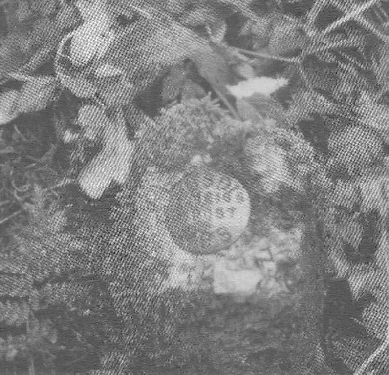 McCarter's 1970 photo of Meigs Post
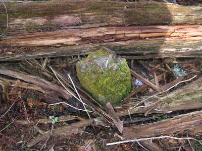 Meigs post in 2012
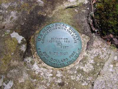 USGS benchmark on Mt Collins