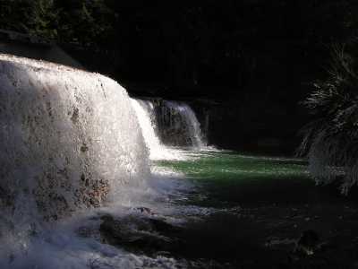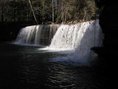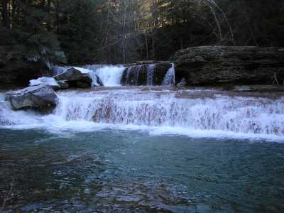


lower potters
| WGS84 | |
| 36.082127 | -84.576492 |
| 36° 4.928'N | 84° 34.59'W |
| 36° 4' 55.7"N | 84° 34' 35.4"W |
| 16S 718218E 3995777N | |
| convert to NAD27 | |
MAPS
Select one of the following maps to display this waypoint (WGS84).
GPS
Remarks:
Reference:
whitewater info
Lower Potters Falls (20') is a little further downstream,
and Lamance Falls is quite a ways upstream.


lower potters
Learn about water quality on Crooked Fork Creek