and tunnel
| WGS84 | |
| 35.404200 | -87.663900 |
| 35° 24.252'N | 87° 39.834'W |
| 35° 24' 15.1"N | 87° 39' 50"W |
| 16S 439717E 3918071N | |
| convert to NAD27 | |
MAPS
Select one of the following maps to display this waypoint (WGS84).
GPS
Remarks:
References: JNAD:TENN-48, C/P:1-2, USGS
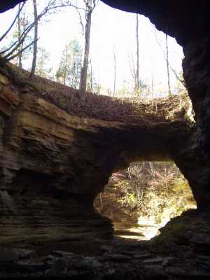
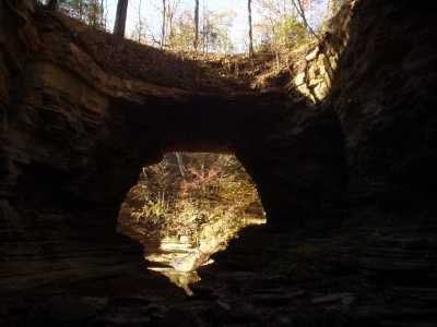
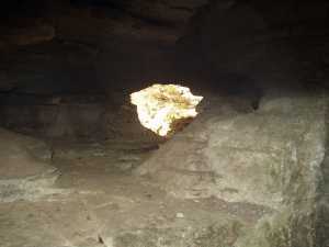
This compound, complex limestone feature conists of two arch openings, a large skylight, and several small tunnels along the bedding planes.
and tunnel
Chuck Sutherland photo1 photos