Tennessee Landforms -- arches and natural bridges| WGS84 |
| 36.055230 | -86.302300 |
| 36° 3.314'N | 86° 18.138'W |
| 36° 3' 18.8"N | 86° 18' 8.3"W |
| 16S 562839E 3990299N |
| convert to NAD27 |
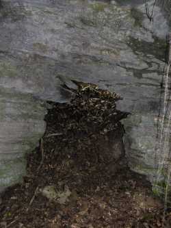
Two Arch Sink 2x3
Waypoint: WLA001 36.055230,-86.302300
County: Wilson landforms of Wilson county
Locale: forest
NABSQNO 16S-562839-3990299
popup list of
nearby landforms (mileage, bearing)
MAPS
Select one of the following maps to display this waypoint (WGS84).
GPS
Remarks:
Reference: Vic Fife
Several small arches in two sinkholes in
Cedars of Lebanon State Forest.
Other arches in state park?
Tennessee landforms
home
arches
waterfalls
rocks
peaks
balds
sinks
lakes
regions
county
GSMNP landforms (TN/NC)
BSF landforms (TN/KY)
or nearby
lookout towers
Chuck Sutherland's www.tnlandforms.com the future (2024)
 ©
Tom Dunigan
©
Tom Dunigan