Tennessee Landforms -- waterfalls| WGS84 |
| 36.028056 | -85.617778 |
| 36° 1.683'N | 85° 37.067'W |
| 36° 1' 41"N | 85° 37' 4"W |
| 16S 624536E 3987944N |
| convert to NAD27 |
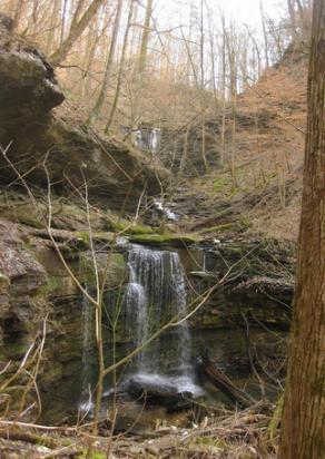
Cane Hollow Falls 75'
Waypoint: WHF036 36.028056,-85.617778
County: White landforms of White county
Locale: CenterHill
popup list of
nearby landforms (mileage, bearing)
MAPS
Select one of the following maps to display this waypoint (WGS84).
GPS
Remarks:
Reference and photo: Kristen Bobo
Tennessee landforms
home
arches
waterfalls
rocks
peaks
balds
sinks
lakes
regions
county
GSMNP landforms (TN/NC)
BSF landforms (TN/KY)
or nearby
lookout towers
Chuck Sutherland's www.tnlandforms.com the future (2024)
 ©
Tom Dunigan
©
Tom Dunigan