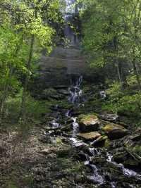 other wet-weather falls nearby.
| WGS84 | |
| 36.000570 | -85.619013 |
| 36° 0.034'N | 85° 37.141'W |
| 36° 0' 2"N | 85° 37' 8.5"W |
| 16S 624468E 3984893N | |
| convert to NAD27 | |
MAPS
Select one of the following maps to display this waypoint (WGS84).
GPS
Remarks:
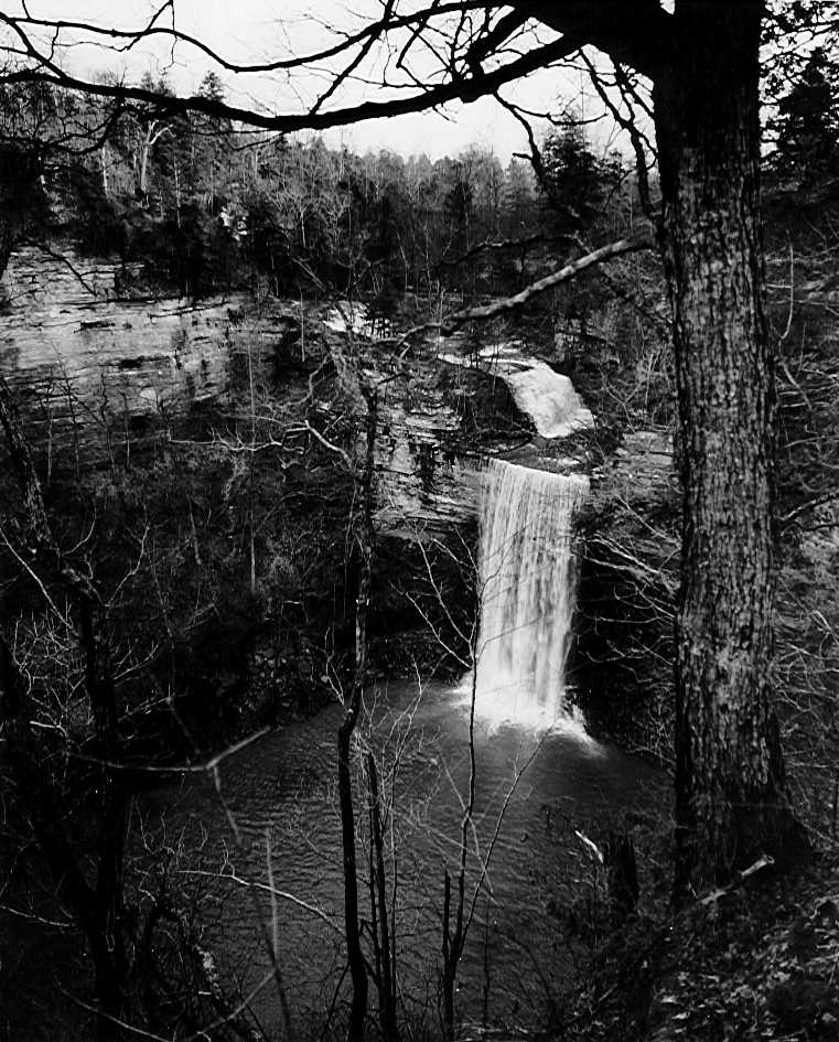
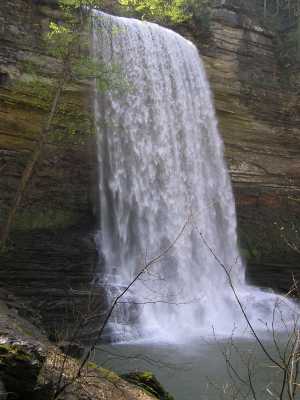
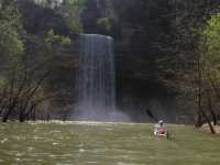
best viewed by boat, also known as Taylor Creek Falls, see 1950 photo showing upper falls, and Chuck Sutherland photo of first tier (15') of upper falls, lower tier 25'. Mist Falls is nearby. Other landforms you can paddle to.
other wet-weather falls nearby.