Tennessee Landforms -- waterfalls| WGS84 |
| 35.722700 | -85.477700 |
| 35° 43.362'N | 85° 28.662'W |
| 35° 43' 21.7"N | 85° 28' 39.7"W |
| 16S 637685E 3954261N |
| convert to NAD27 |
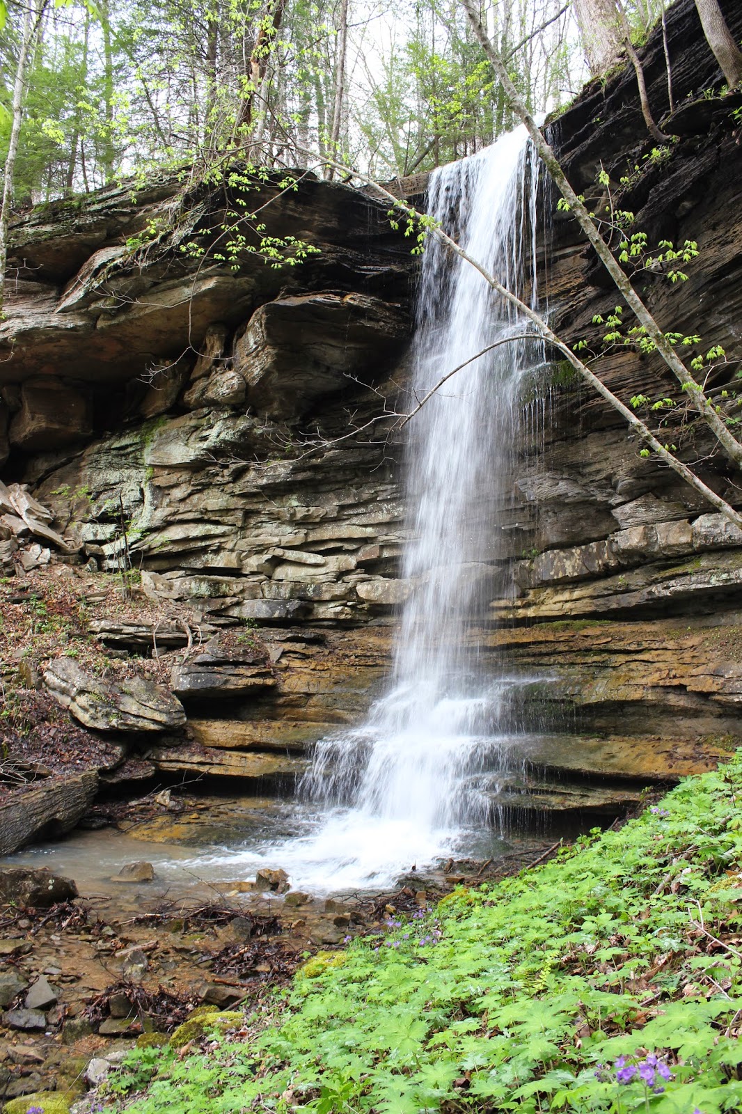
Laurel Creek Falls 22'
Waypoint: VBF005 35.722700,-85.477700
County: VanBuren landforms of VanBuren county
popup list of
nearby landforms (mileage, bearing)
MAPS
Select one of the following maps to display this waypoint (WGS84).
GPS
Remarks:
Dana Koogler's photo
Dana reports additional wet-weather falls just to the west at
35.72273,-85.47805
Tennessee landforms
home
arches
waterfalls
rocks
peaks
balds
sinks
lakes
regions
county
GSMNP landforms (TN/NC)
BSF landforms (TN/KY)
or nearby
lookout towers
Chuck Sutherland's www.tnlandforms.com the future (2024)
 ©
Tom Dunigan
©
Tom Dunigan