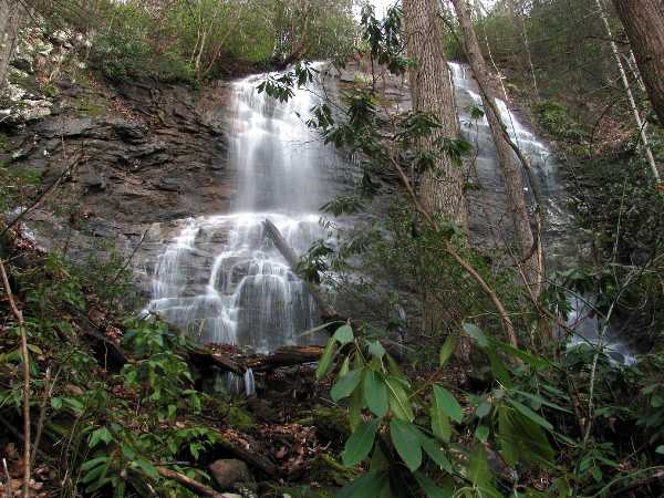
 Middle Falls (Randy Tarpley)
| WGS84 | |
| 36.106550 | -82.544900 |
| 36° 6.393'N | 82° 32.694'W |
| 36° 6' 23.6"N | 82° 32' 41.6"W |
| 17S 360944E 3996871N | |
| convert to NAD27 | |
MAPS
Select one of the following maps to display this waypoint (WGS84).
GPS
Remarks:
Reference: Tommy Warden, Dave Aldridge, Randy Tarpley
3 falls that drop total of 190'. off-trail
See Randy Tarpley photos
Upper Falls 80',
Middle Falls 90',
Lower Falls 15'
 Middle Falls (Randy Tarpley)