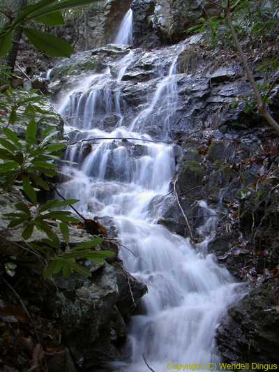
 lower falls
| WGS84 | |
| 36.130700 | -82.506850 |
| 36° 7.842'N | 82° 30.411'W |
| 36° 7' 50.5"N | 82° 30' 24.7"W |
| 17S 364411E 3999497N | |
| convert to NAD27 | |
MAPS
Select one of the following maps to display this waypoint (WGS84).
GPS
Remarks:
Reference & photo: Bill Stowell, Wendell Dingus
A series of falls (lower, middle, upper) along Simmons Branch.
lower falls
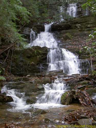
 feeder falls near lower falls
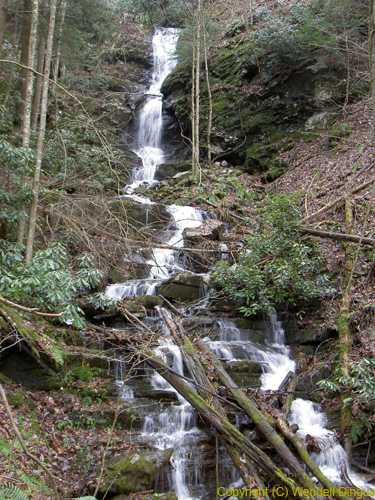
 middle falls
 upper falls