Tennessee Landforms -- waterfalls| WGS84 |
| 36.121500 | -82.518200 |
| 36° 7.29'N | 82° 31.092'W |
| 36° 7' 17.4"N | 82° 31' 5.5"W |
| 17S 363374E 3998492N |
| convert to NAD27 |
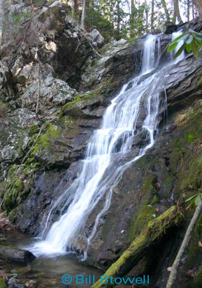
Sill Branch (u) 50'
Waypoint: UCF011 36.121500,-82.518200
County: Unicoi landforms of Unicoi county
Locale: wilderness
popup list of
nearby landforms (mileage, bearing)
MAPS
Select one of the following maps to display this waypoint (WGS84).
GPS
Remarks:
Reference & photo: Bill Stowell
off-trail on old road bed that starts on the S. Fork
Tennessee landforms
home
arches
waterfalls
rocks
peaks
balds
sinks
lakes
regions
county
GSMNP landforms (TN/NC)
BSF landforms (TN/KY)
or nearby
lookout towers
Chuck Sutherland's www.tnlandforms.com the future (2024)
 ©
Tom Dunigan
©
Tom Dunigan