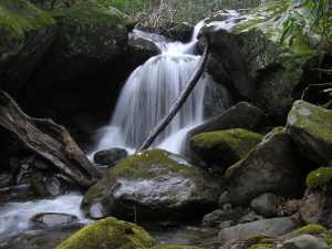
 12' lower falls (2480', 35.6803,-83.3996)
| WGS84 | |
| 35.669100 | -83.416000 |
| 35° 40.146'N | 83° 24.96'W |
| 35° 40' 8.8"N | 83° 24' 57.6"W |
| 17S 281325E 3949937N | |
| convert to NAD27 | |
MAPS
Select one of the following maps to display this waypoint (WGS84).
GPS
Remarks:
Reference: ecj
3 falls off-trail. waypoint is for middle falls.
12' lower falls (2480', 35.6803,-83.3996)
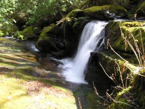 10' falls in long cascade at
35.6747,-83.4109
10' falls in long cascade at
35.6747,-83.4109
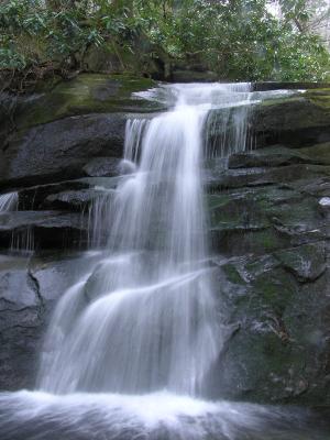 18' middle falls (waypoint)
larger upper falls 1.3 miles upstream (5060', 35.65702,-83.43299)
Mike Poppen's Cannon Cr hike also see 1965 Ernie Dickerman hike