Tennessee Landforms -- waterfalls| WGS84 |
| 35.715400 | -83.391200 |
| 35° 42.924'N | 83° 23.472'W |
| 35° 42' 55.4"N | 83° 23' 28.3"W |
| 17S 283695E 3955019N |
| convert to NAD27 |
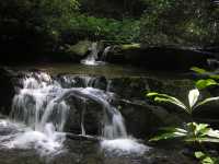
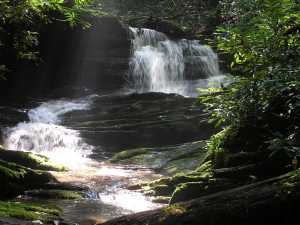
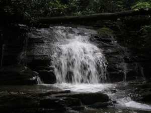
Rhododendron Cr Falls (13)
Waypoint: SVF025 35.715400,-83.391200
County: Sevier landforms of Sevier county
Locale: Great Smoky Mountains National Park
popup list of
nearby landforms (mileage, bearing)
MAPS
Select one of the following maps to display this waypoint (WGS84).
GPS
Remarks:
More than a dozen falls/cascades are found on the lower section of
this creek via a manway.
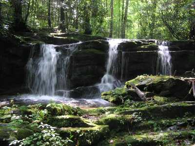 Tres Falls
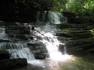
 Mike's Falls
Tennessee landforms
home
arches
waterfalls
rocks
peaks
balds
sinks
lakes
regions
county
GSMNP landforms (TN/NC)
BSF landforms (TN/KY)
or nearby
lookout towers
Chuck Sutherland's www.tnlandforms.com the future (2024)
 ©
Tom Dunigan
©
Tom Dunigan