 Grotto Falls
| WGS84 | |
| 35.673900 | -83.449600 |
| 35° 40.434'N | 83° 26.976'W |
| 35° 40' 26"N | 83° 26' 58.6"W |
| 17S 278296E 3950545N | |
| convert to NAD27 | |
MAPS
Select one of the following maps to display this waypoint (WGS84).
GPS
Remarks:
along Trillium Gap trail
Grotto Falls
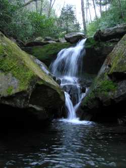 another falls just downstream
Kevin Adams photo or with llamas or Dutch Roths 1936 black & white
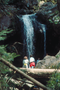 Photo by Gregory Plumb, Author of
Waterfalls of Tennessee
Photo by Gregory Plumb, Author of
Waterfalls of Tennessee