Tennessee Landforms -- waterfalls| WGS84 |
| 35.419700 | -85.418560 |
| 35° 25.182'N | 85° 25.114'W |
| 35° 25' 10.9"N | 85° 25' 6.8"W |
| 16S 643574E 3920736N |
| convert to NAD27 |
Possum Falls 80'
Waypoint: SQF001 35.419700,-85.418560
County: Sequatchie landforms of Sequatchie county
popup list of
nearby landforms (mileage, bearing)
MAPS
Select one of the following maps to display this waypoint (WGS84).
GPS
Remarks:
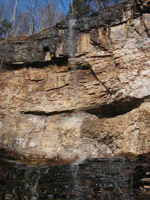
a picture
with water :-)
Tennessee landforms
home
arches
waterfalls
rocks
peaks
balds
sinks
lakes
regions
county
GSMNP landforms (TN/NC)
BSF landforms (TN/KY)
or nearby
lookout towers
Chuck Sutherland's www.tnlandforms.com the future (2024)
 ©
Tom Dunigan
©
Tom Dunigan