Tennessee Landforms -- waterfalls| WGS84 |
| 36.432230 | -84.584000 |
| 36° 25.934'N | 84° 35.04'W |
| 36° 25' 56"N | 84° 35' 2.4"W |
| 16S 716573E 4034603N |
| Location uncertain. |
| convert to NAD27 |
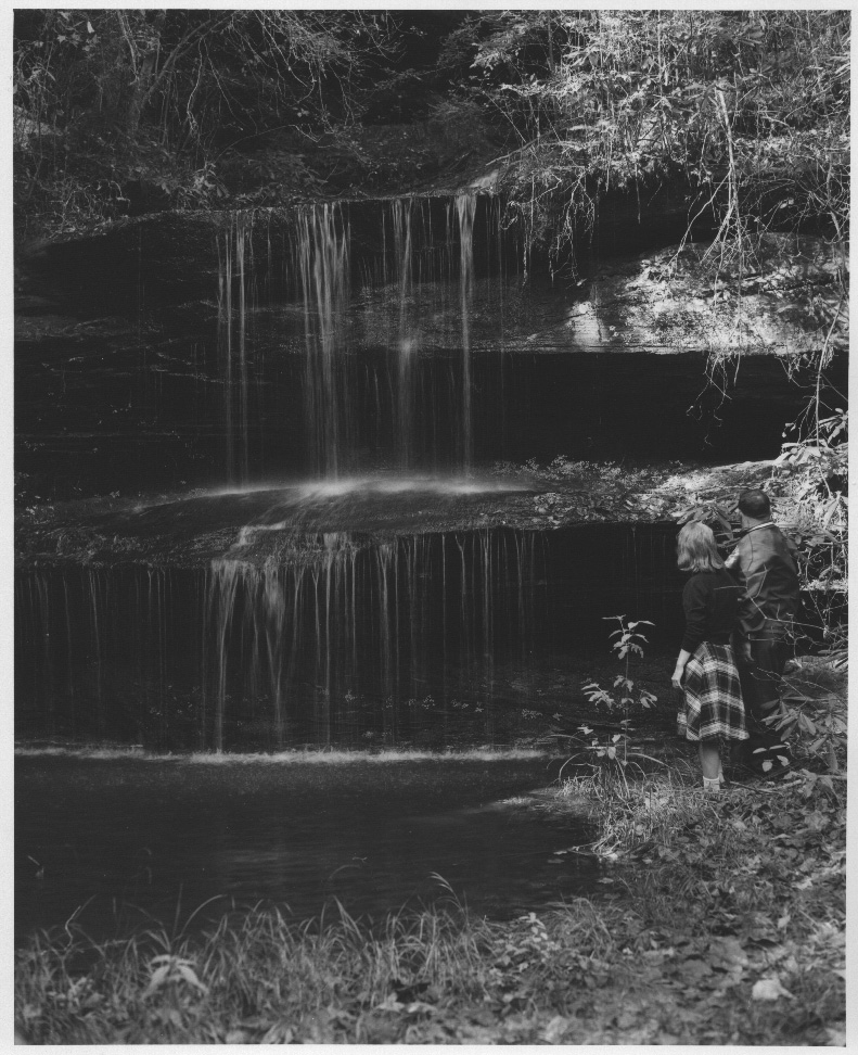
Dripping Springs? 15'
Waypoint: SCF028 36.432230,-84.584000
County: Scott landforms of Scott county
Locale: Big South Fork
popup list of
nearby landforms (mileage, bearing)
MAPS
Select one of the following maps to display this waypoint (WGS84).
GPS
Remarks:
1967 photo
location uncertain ... and now sign says "Crystal Falls"
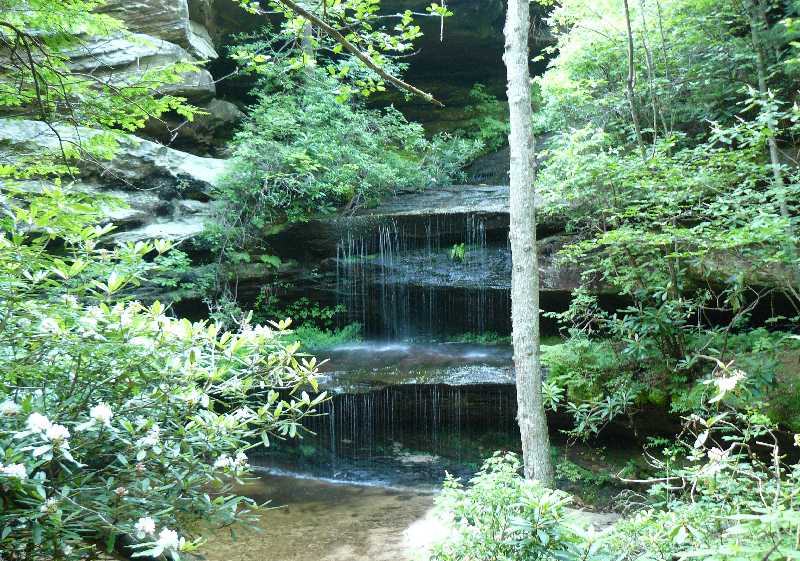 Sharon Black photo
Tennessee landforms
home
arches
waterfalls
rocks
peaks
balds
sinks
lakes
regions
county
GSMNP landforms (TN/NC)
BSF landforms (TN/KY)
or nearby
lookout towers
Chuck Sutherland's www.tnlandforms.com the future (2024)
 ©
Tom Dunigan
©
Tom Dunigan