Tennessee Landforms -- arches and natural bridges| WGS84 |
| 36.580324 | -84.667844 |
| 36° 34.819'N | 84° 40.071'W |
| 36° 34' 49.1"N | 84° 40' 4.3"W |
| 16S 708658E 4050850N |
| Location uncertain. |
| convert to NAD27 |
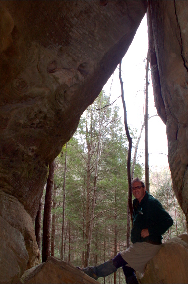
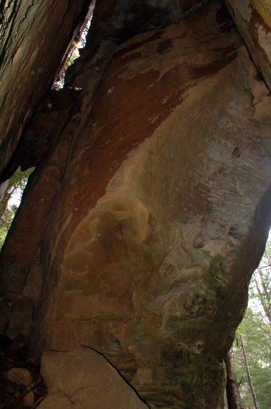
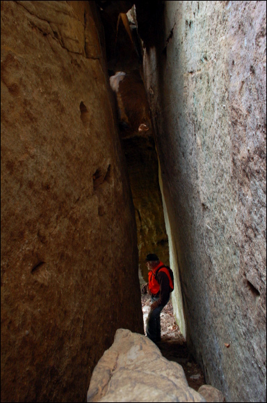
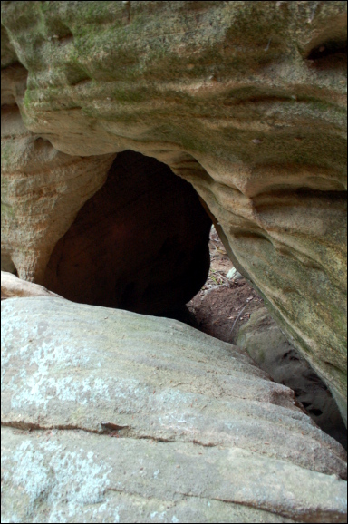
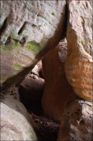
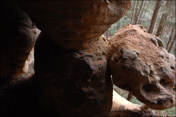
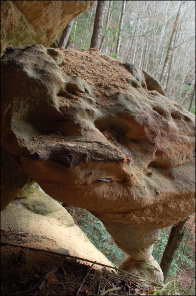
Jug Complex?
Waypoint: SCA068 36.580324,-84.667844
County: Scott landforms of Scott county
Locale: Big South Fork
NABSQNO 16S-7086XX-40508XX
popup list of
nearby landforms (mileage, bearing)
MAPS
Select one of the following maps to display this waypoint (WGS84).
GPS
Remarks:
Reference and photos: Fife brothers
Tennessee landforms
home
arches
waterfalls
rocks
peaks
balds
sinks
lakes
regions
county
GSMNP landforms (TN/NC)
BSF landforms (TN/KY)
or nearby
lookout towers
Chuck Sutherland's www.tnlandforms.com the future (2024)
 ©
Tom Dunigan
©
Tom Dunigan