Tennessee Landforms -- arches and natural bridges| WGS84 |
| 36.578721 | -84.671492 |
| 36° 34.723'N | 84° 40.29'W |
| 36° 34' 43.4"N | 84° 40' 17.4"W |
| 16S 708336E 4050664N |
| Location uncertain. |
| convert to NAD27 |
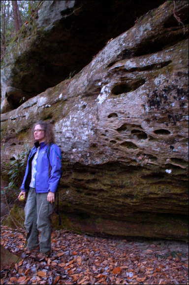
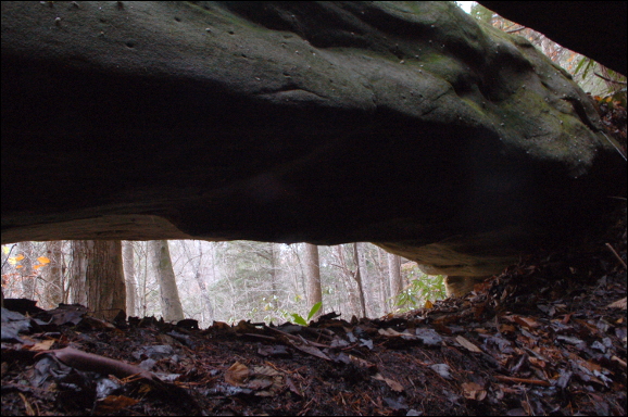
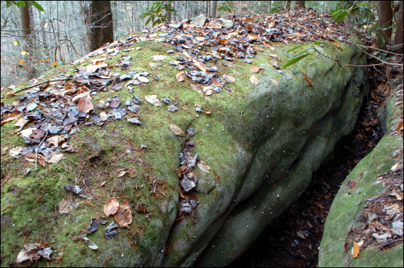
Betty Br Shelf Arch?
Waypoint: SCA063 36.578721,-84.671492
County: Scott landforms of Scott county
Locale: Big South Fork
NABSQNO 16S-7083XX-40506XX
popup list of
nearby landforms (mileage, bearing)
MAPS
Select one of the following maps to display this waypoint (WGS84).
GPS
Remarks:
Reference and photos: Fife brothers
easy to miss, unless your OCD

Tennessee landforms
home
arches
waterfalls
rocks
peaks
balds
sinks
lakes
regions
county
GSMNP landforms (TN/NC)
BSF landforms (TN/KY)
or nearby
lookout towers
Chuck Sutherland's www.tnlandforms.com the future (2024)
 ©
Tom Dunigan
©
Tom Dunigan