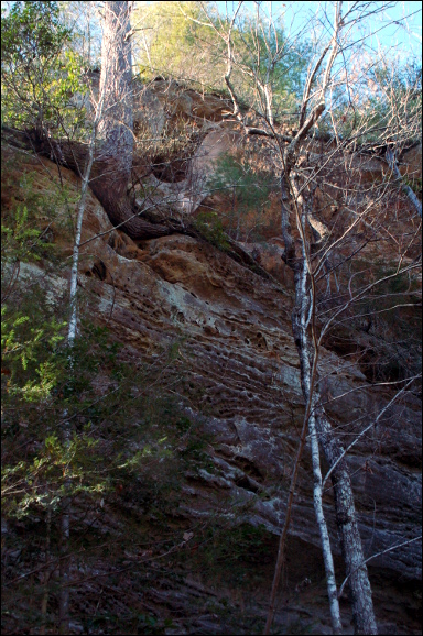
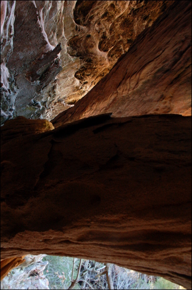
 arches located in dark area in the top quarter of photo
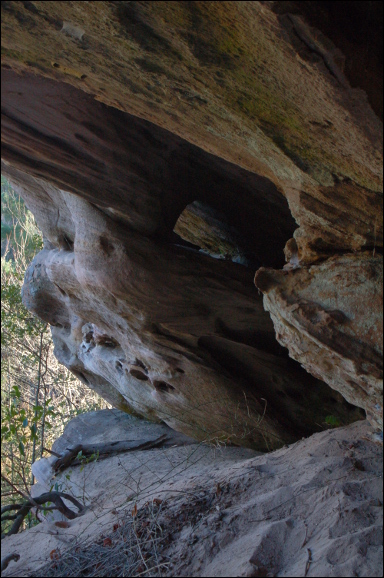
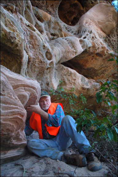 Victor Fife
| WGS84 | |
| 36.573517 | -84.677951 |
| 36° 34.411'N | 84° 40.677'W |
| 36° 34' 24.7"N | 84° 40' 40.6"W |
| 16S 707772E 4050072N | |
| Location uncertain. | |
| convert to NAD27 | |
MAPS
Select one of the following maps to display this waypoint (WGS84).
GPS
Remarks:
Reference and photos: Fife brothers
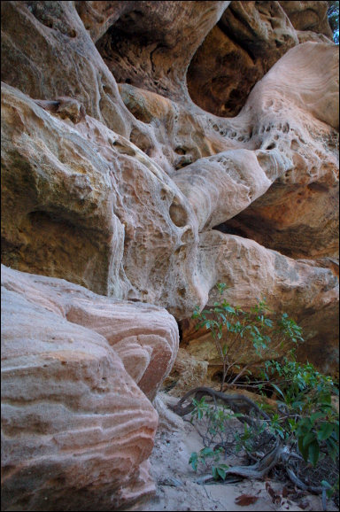
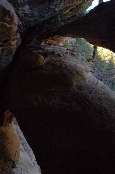
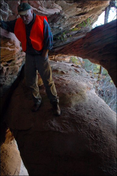
two main openings 20' with 12' rainbow and smaller window,
because of drop, potential for getting pictures are limited
arches located in dark area in the top quarter of photo
Victor Fife