

| WGS84 | |
| 36.474217 | -84.649513 |
| 36° 28.453'N | 84° 38.971'W |
| 36° 28' 27.2"N | 84° 38' 58.3"W |
| 16S 710586E 4039117N | |
| convert to NAD27 | |
MAPS
Select one of the following maps to display this waypoint (WGS84).
GPS
Remarks:
Reference: Tom Des Jean
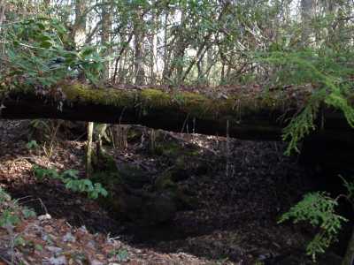
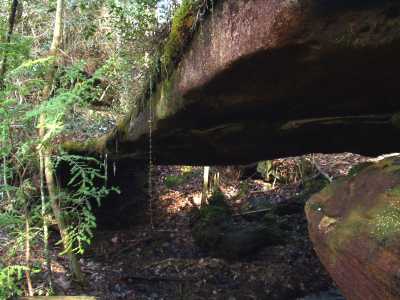
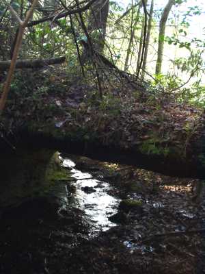
This natural bridge at the top of the bluff line has a small stream running through it and some wet-weather falls nearby. off-trail from Ranger headquarters.


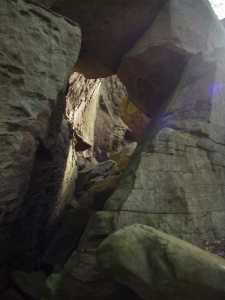
The 4x11 rock passage (gravity arch) at the foot of the bluff line
