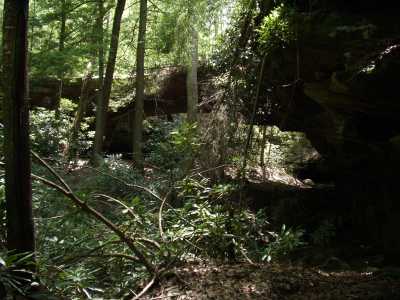
Tennessee Landforms -- arches and natural bridges| WGS84 |
| 36.489700 | -84.637200 |
| 36° 29.382'N | 84° 38.232'W |
| 36° 29' 22.9"N | 84° 38' 13.9"W |
| 16S 711647E 4040862N |
| convert to NAD27 |
Opossum Rock 80x20
Waypoint: SCA007 36.489700,-84.637200
County: Scott landforms of Scott county
Locale: private
NABSQNO 16S-711647-4040862
popup list of
nearby landforms (mileage, bearing)
MAPS
Select one of the following maps to display this waypoint (WGS84).
GPS
Remarks:
References: JNAD:TENN-36, WAD:44.5, John Burns
This massive natural bridge has been carved out by the stream that runs
underneath. (also known as Terry Natural Bridge)

Tennessee landforms
home
arches
waterfalls
rocks
peaks
balds
sinks
lakes
regions
county
GSMNP landforms (TN/NC)
BSF landforms (TN/KY)
or nearby
lookout towers
Chuck Sutherland's www.tnlandforms.com the future (2024)
 ©
Tom Dunigan

