Tennessee Landforms -- arches and natural bridges| WGS84 |
| 35.787200 | -84.453220 |
| 35° 47.232'N | 84° 27.193'W |
| 35° 47' 13.9"N | 84° 27' 11.6"W |
| 16S 730174E 3963339N |
| convert to NAD27 |
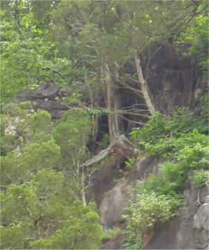
Paint Rock Window 3x4
Waypoint: ROA001 35.787200,-84.453220
County: Roane landforms of Roane county
Locale: private
NABSQNO 16S-730174-3963339
popup list of
nearby landforms (mileage, bearing)
MAPS
Select one of the following maps to display this waypoint (WGS84).
GPS
Remarks:
This small window is located along the top of the limestone bluff.
Best viewed in winter by boat.
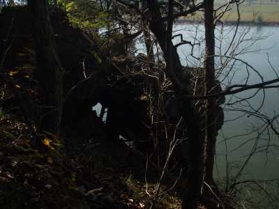
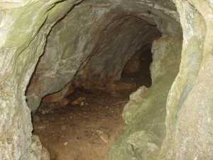
A little further upstream ( 35.7826 -84.4424)
is a tunnel with a few small windows.
Tennessee landforms
home
arches
waterfalls
rocks
peaks
balds
sinks
lakes
regions
county
GSMNP landforms (TN/NC)
BSF landforms (TN/KY)
or nearby
lookout towers
Chuck Sutherland's www.tnlandforms.com the future (2024)
 ©
Tom Dunigan
©
Tom Dunigan