Tennessee Landforms -- waterfalls| WGS84 |
| 35.464050 | -85.112175 |
| 35° 27.843'N | 85° 6.73'W |
| 35° 27' 50.6"N | 85° 6' 43.8"W |
| 16S 671299E 3926144N |
| convert to NAD27 |
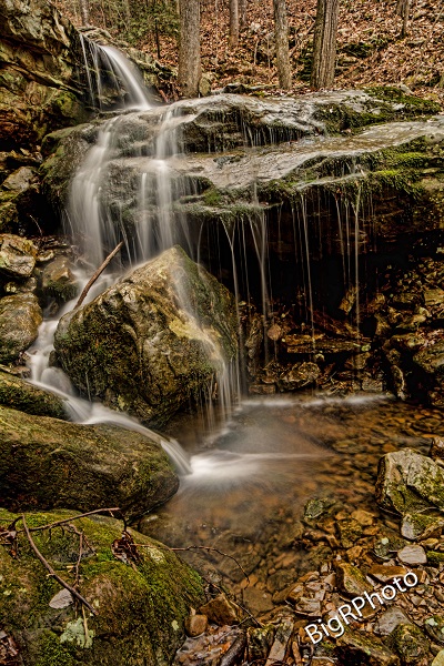
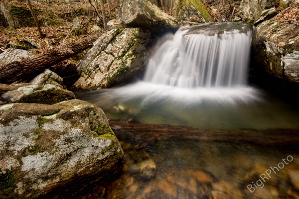
Dinner Br Falls (3) 15'
Waypoint: RHF028 35.464050,-85.112175
County: Rhea landforms of Rhea county
Locale: CT
popup list of
nearby landforms (mileage, bearing)
MAPS
Select one of the following maps to display this waypoint (WGS84).
GPS
Remarks:
Reference and photos: Ronnie Phipps

Tennessee landforms
home
arches
waterfalls
rocks
peaks
balds
sinks
lakes
regions
county
GSMNP landforms (TN/NC)
BSF landforms (TN/KY)
or nearby
lookout towers
Chuck Sutherland's www.tnlandforms.com the future (2024)
 ©
Tom Dunigan
©
Tom Dunigan