Tennessee Landforms -- waterfalls| WGS84 |
| 35.458810 | -85.111850 |
| 35° 27.529'N | 85° 6.711'W |
| 35° 27' 31.7"N | 85° 6' 42.7"W |
| 16S 671340E 3925563N |
| convert to NAD27 |
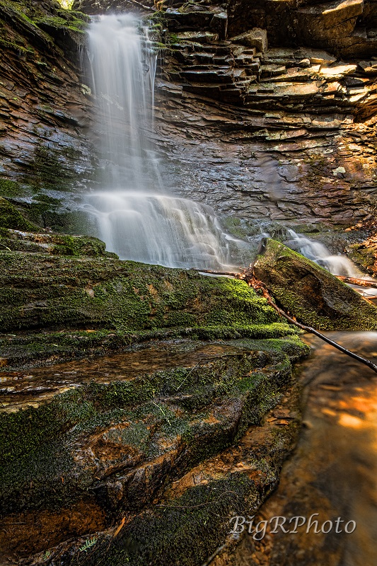
Flora Branch Falls (2) 30'
Waypoint: RHF021 35.458810,-85.111850
County: Rhea landforms of Rhea county
Locale: CT
popup list of
nearby landforms (mileage, bearing)
MAPS
Select one of the following maps to display this waypoint (WGS84).
GPS
Remarks:
Reference and photos: Ronnie Phipps
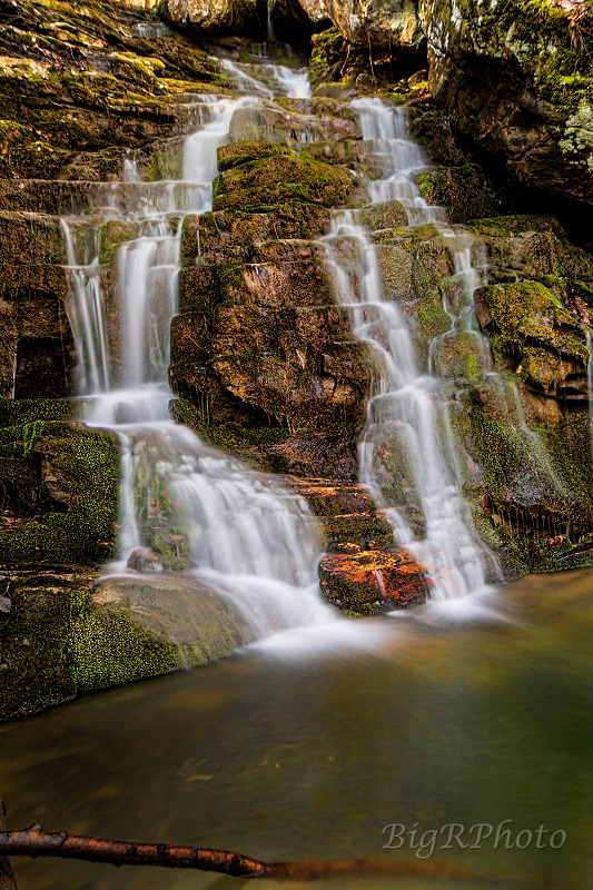 Stairstep falls, 20', downstream at
35.46045, -85.10999
Stairstep falls, 20', downstream at
35.46045, -85.10999
Tennessee landforms
home
arches
waterfalls
rocks
peaks
balds
sinks
lakes
regions
county
GSMNP landforms (TN/NC)
BSF landforms (TN/KY)
or nearby
lookout towers
Chuck Sutherland's www.tnlandforms.com the future (2024)
 ©
Tom Dunigan
©
Tom Dunigan