Tennessee Landforms -- waterfalls| WGS84 |
| 35.482224 | -85.111778 |
| 35° 28.933'N | 85° 6.707'W |
| 35° 28' 56"N | 85° 6' 42.4"W |
| 16S 671297E 3928161N |
| convert to NAD27 |
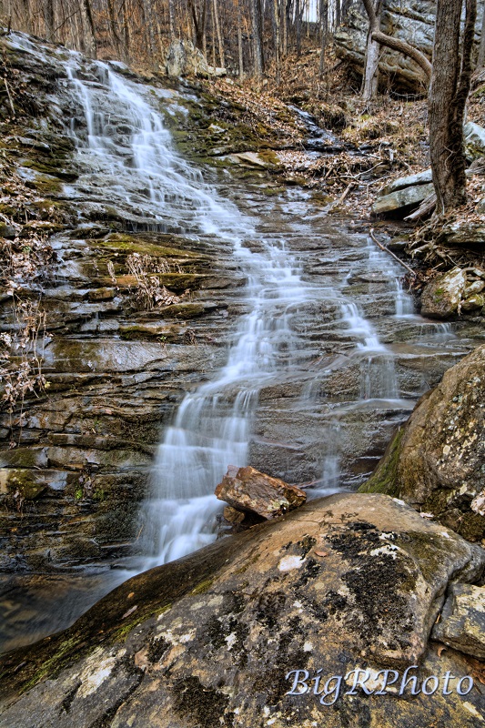
Little Benton Falls (2) 25'
Waypoint: RHF020 35.482224,-85.111778
County: Rhea landforms of Rhea county
popup list of
nearby landforms (mileage, bearing)
MAPS
Select one of the following maps to display this waypoint (WGS84).
GPS
Remarks:
Reference and photos: Ronnie Phipps
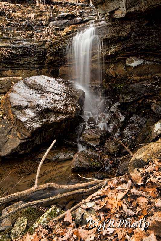 Big Ridge Falls 12', just upstream, 35.482731, -85.112076
Tennessee landforms
home
arches
waterfalls
rocks
peaks
balds
sinks
lakes
regions
county
GSMNP landforms (TN/NC)
BSF landforms (TN/KY)
or nearby
lookout towers
Chuck Sutherland's www.tnlandforms.com the future (2024)
 ©
Tom Dunigan
©
Tom Dunigan