Tennessee Landforms -- waterfalls| WGS84 |
| 35.486700 | -85.104600 |
| 35° 29.202'N | 85° 6.276'W |
| 35° 29' 12.1"N | 85° 6' 16.6"W |
| 16S 671938E 3928670N |
| convert to NAD27 |
Brush Creek Falls 20'
Waypoint: RHF013 35.486700,-85.104600
County: Rhea landforms of Rhea county
Locale: private
popup list of
nearby landforms (mileage, bearing)
MAPS
Select one of the following maps to display this waypoint (WGS84).
GPS
Remarks:
Reference: Vic Fife
whitewater
info

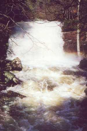 photo courtesy of Vic Fife
Tennessee landforms
home
arches
waterfalls
rocks
peaks
balds
sinks
lakes
regions
county
GSMNP landforms (TN/NC)
BSF landforms (TN/KY)
or nearby
lookout towers
Chuck Sutherland's www.tnlandforms.com the future (2024)
 ©
Tom Dunigan
©
Tom Dunigan