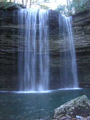
 40' main falls
 20' lower falls not far downstream
 12' cascade way downstream
( 35.8072 -84.7751)
12' cascade way downstream
( 35.8072 -84.7751)
| WGS84 | |
| 35.800420 | -84.789650 |
| 35° 48.025'N | 84° 47.379'W |
| 35° 48' 1.5"N | 84° 47' 22.7"W |
| 16S 699730E 3964067N | |
| convert to NAD27 | |
MAPS
Select one of the following maps to display this waypoint (WGS84).
GPS
Remarks:
40' main falls
20' lower falls not far downstream
12' cascade way downstream
( 35.8072 -84.7751)