Tennessee Landforms -- arches and natural bridges| WGS84 |
| 35.547960 | -85.007985 |
| 35° 32.878'N | 85° 0.479'W |
| 35° 32' 52.7"N | 85° 0' 28.7"W |
| 16S 680566E 3935638N |
| convert to NAD27 |
Gooch Creek Arch 78x45
Waypoint: RHA001 35.547960,-85.007985
County: Rhea landforms of Rhea county
NABSQNO 16S-680566-3935638
popup list of
nearby landforms (mileage, bearing)
MAPS
Select one of the following maps to display this waypoint (WGS84).
GPS
Remarks:
References: JNAD:TENN-58, C/P:16
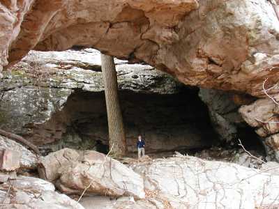
Corgan/Parks couldn't locate this arch, but we found it using
the description in Nelson (TN Geological Survery Resources
v. 5, no. 2, 1915,
pp. 76-80).
This massive arch is off-trail on Bowaters land east of the
Laurel-Snow Pocket
Wilderness .
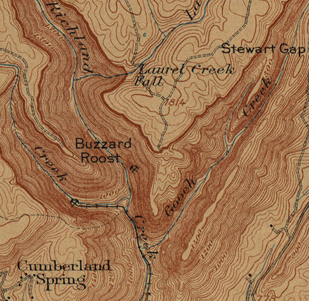
Paine Creek used to be named Gooch Creek (see
1910 topo map).
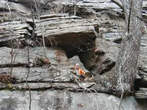
There are also some gravity arches/windows along
the same bluff line at the mouth of Paine Creek.
 35.53858,-85.02072
 35.53959,-85.017938
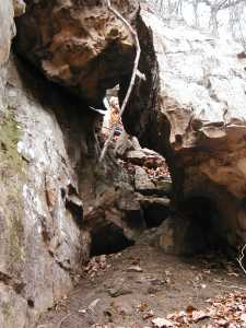
The trail to Laurel Falls also goes through a rock "arch" (leaner),
Fat Man's Squeeze,
at 35.54633,-85.02775.
Tennessee landforms
home
arches
waterfalls
rocks
peaks
balds
sinks
lakes
regions
county
GSMNP landforms (TN/NC)
BSF landforms (TN/KY)
or nearby
lookout towers
Chuck Sutherland's www.tnlandforms.com the future (2024)
 ©
Tom Dunigan
©
Tom Dunigan