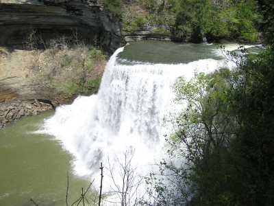
 Burgess Falls
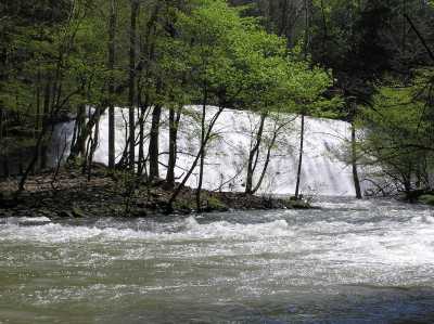 Burgess middle falls
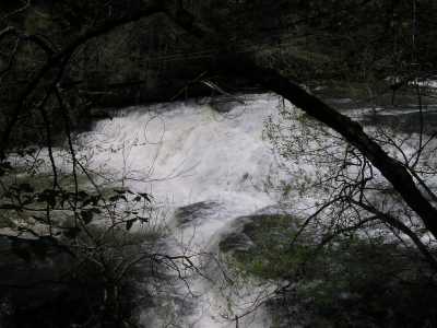 Burgess little falls
| WGS84 | |
| 36.045510 | -85.599560 |
| 36° 2.731'N | 85° 35.974'W |
| 36° 2' 43.9"N | 85° 35' 58.4"W |
| 16S 626150E 3989903N | |
| convert to NAD27 | |
MAPS
Select one of the following maps to display this waypoint (WGS84).
GPS
Remarks:
Burgess Falls
Burgess middle falls
Burgess little falls
Chuck Sutherland's HDR photo