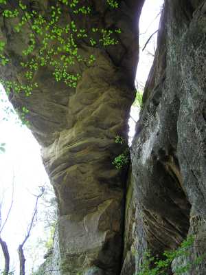
the span of this arch is probably closer to 200' ...
| WGS84 | |
| 36.140800 | -85.284800 |
| 36° 8.448'N | 85° 17.088'W |
| 36° 8' 26.9"N | 85° 17' 5.3"W |
| 16S 654319E 4000928N | |
| convert to NAD27 | |
MAPS
Select one of the following maps to display this waypoint (WGS84).
GPS
Remarks:
References: C/P:20, WAD:44.1
the span of this arch is probably closer to 200' ...
Present landowner does not permit visitors on the topside. Arch is best viewed from the base. It is left as an "exercise" for the reader as to how to get to the base of the bluff line! More info and pic.
Nearby is Monterey window.