Tennessee Landforms -- waterfalls| WGS84 |
| 35.134349 | -84.598846 |
| 35° 8.061'N | 84° 35.931'W |
| 35° 8' 3.7"N | 84° 35' 55.9"W |
| 16S 718772E 3890581N |
| convert to NAD27 |
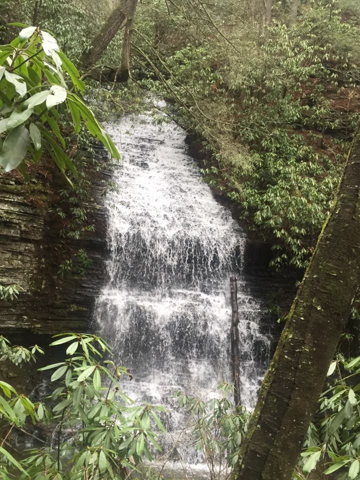
Rim Rock Falls 25'
Waypoint: POF019 35.134349,-84.598846
County: Polk landforms of Polk county
Locale: Cherokee National Forest
popup list of
nearby landforms (mileage, bearing)
MAPS
Select one of the following maps to display this waypoint (WGS84).
GPS
Remarks:
Reference and photo: Mitchell Guinn
This waterfall is located down the hillside at the junction of Clemmer and
the upper Rim Rock spur trail on Slickrock Branch.
Tennessee landforms
home
arches
waterfalls
rocks
peaks
balds
sinks
lakes
regions
county
GSMNP landforms (TN/NC)
BSF landforms (TN/KY)
or nearby
lookout towers
Chuck Sutherland's www.tnlandforms.com the future (2024)
 ©
Tom Dunigan
©
Tom Dunigan