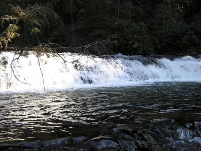
 Upper Falls
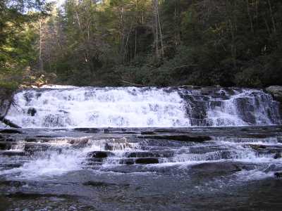 Coker Creek Falls
 Hiding Place Falls
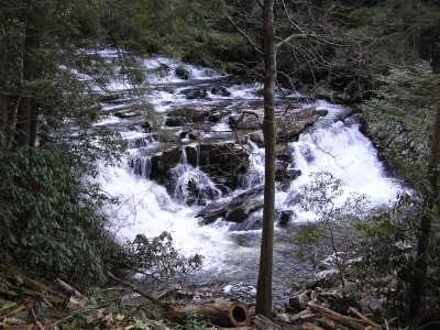
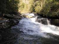
 Lower Falls
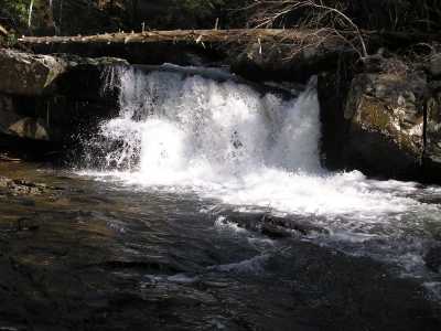
 Undercut Cascade
| WGS84 | |
| 35.197270 | -84.370280 |
| 35° 11.836'N | 84° 22.217'W |
| 35° 11' 50.2"N | 84° 22' 13"W |
| 16S 739417E 3898088N | |
| convert to NAD27 | |
MAPS
Select one of the following maps to display this waypoint (WGS84).
GPS
Remarks:
CNF trail 183, and whitewater info and pics
Upper Falls
Coker Creek Falls
Hiding Place Falls
Lower Falls
Undercut Cascade