| WGS84 | |
| 35.134020 | -84.596030 |
| 35° 8.041'N | 84° 35.762'W |
| 35° 8' 2.5"N | 84° 35' 45.7"W |
| 16S 719030E 3890551N | |
| convert to NAD27 | |
MAPS
Select one of the following maps to display this waypoint (WGS84).
GPS
Remarks:
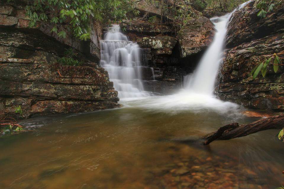
One of several falls below Benton Falls on Rock Creek -- maybe??. See the Dutch Roth 1938 black & white and thumbnails
Hike up Scenic Spur Trail then off-trail up the creek. (see trail maps)
Brian Solomon's photo:
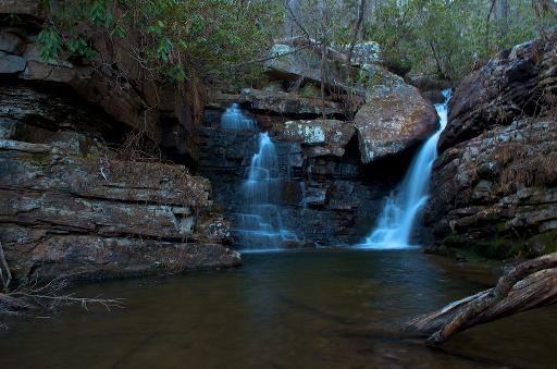 courtesy Michael Shannon