Tennessee Landforms -- waterfalls| WGS84 |
| 35.164870 | -84.363080 |
| 35° 9.892'N | 84° 21.785'W |
| 35° 9' 53.5"N | 84° 21' 47.1"W |
| 16S 740168E 3894511N |
| convert to NAD27 |
Lower Turtletown Falls 55'
Waypoint: POF004 35.164870,-84.363080
County: Polk landforms of Polk county
Locale: Cherokee National Forest
popup list of
nearby landforms (mileage, bearing)
MAPS
Select one of the following maps to display this waypoint (WGS84).
GPS
Remarks:
CNF trail 185
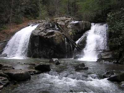
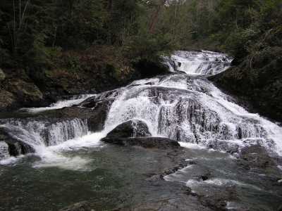
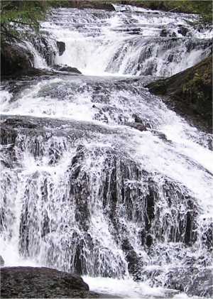
Turtletown and Lower Turtletown falls
Tennessee landforms
home
arches
waterfalls
rocks
peaks
balds
sinks
lakes
regions
county
GSMNP landforms (TN/NC)
BSF landforms (TN/KY)
or nearby
lookout towers
Chuck Sutherland's www.tnlandforms.com the future (2024)
 ©
Tom Dunigan
©
Tom Dunigan