| WGS84 | |
| 36.597500 | -84.853940 |
| 36° 35.85'N | 84° 51.236'W |
| 36° 35' 51"N | 84° 51' 14.2"W |
| 16S 691963E 4052367N | |
| convert to NAD27 | |
MAPS
Select one of the following maps to display this waypoint (WGS84).
GPS
Remarks:
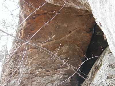
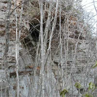
Located on Nature Conservancy (Dobbs Creek Preserve) land (foot traffic only). The separation from the cliff wall is only inches. It should be more spectacular in a million years. Come back then. Also nearby are tunnels and the KY chimney rock to the north.