Tennessee Landforms -- waterfalls| WGS84 |
| 35.295074 | -84.215516 |
| 35° 17.704'N | 84° 12.931'W |
| 35° 17' 42.2"N | 84° 12' 55.9"W |
| 16S 753207E 3909323N |
| convert to NAD27 |
Sophia Falls 60'
Waypoint: MOF055 35.295074,-84.215516
County: Monroe landforms of Monroe county
Locale: Cherokee National Forest
popup list of
nearby landforms (mileage, bearing)
MAPS
Select one of the following maps to display this waypoint (WGS84).
GPS
Remarks:
Reference and photos: Brian Solomon
3-tiered falls on upper Tobe Creek
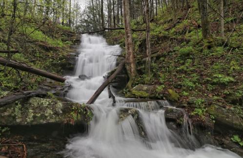 top tier
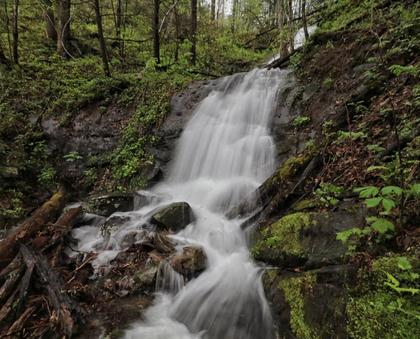 middle tier
Tennessee landforms
home
arches
waterfalls
rocks
peaks
balds
sinks
lakes
regions
county
GSMNP landforms (TN/NC)
BSF landforms (TN/KY)
or nearby
lookout towers
Chuck Sutherland's www.tnlandforms.com the future (2024)
 ©
Tom Dunigan
©
Tom Dunigan