Tennessee Landforms -- waterfalls| WGS84 |
| 35.276190 | -84.097600 |
| 35° 16.571'N | 84° 5.856'W |
| 35° 16' 34.3"N | 84° 5' 51.4"W |
| 16S 763994E 3907536N |
| convert to NAD27 |
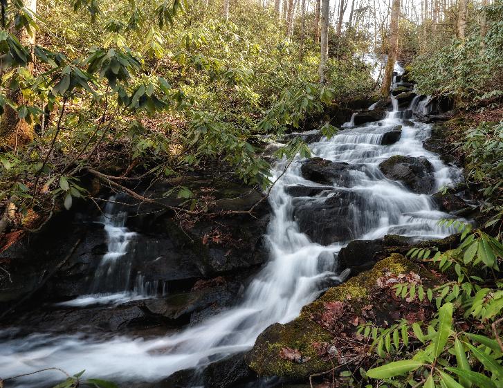
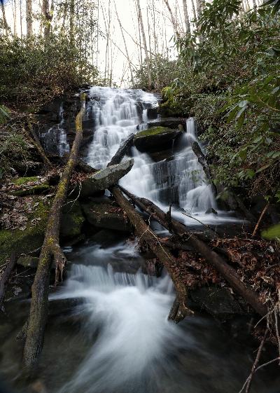
Davis Creek Falls 35'
Waypoint: MOF048 35.276190,-84.097600
County: Monroe landforms of Monroe county
Locale: Cherokee National Forest
popup list of
nearby landforms (mileage, bearing)
MAPS
Select one of the following maps to display this waypoint (WGS84).
GPS
Remarks:
Reference and photos: Brian Solomon
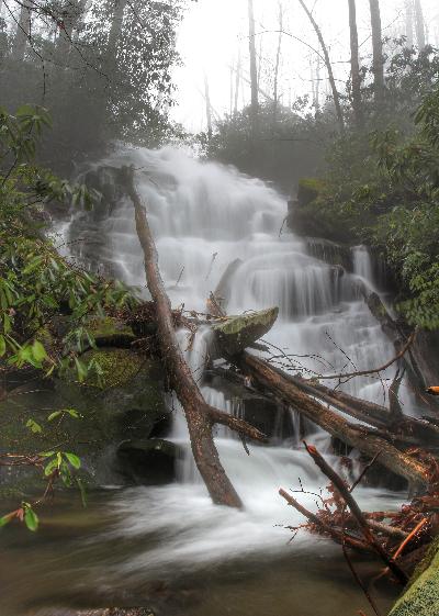 (there is another drop above this main falls)
Tennessee landforms
home
arches
waterfalls
rocks
peaks
balds
sinks
lakes
regions
county
GSMNP landforms (TN/NC)
BSF landforms (TN/KY)
or nearby
lookout towers
Chuck Sutherland's www.tnlandforms.com the future (2024)
 ©
Tom Dunigan
©
Tom Dunigan