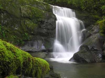
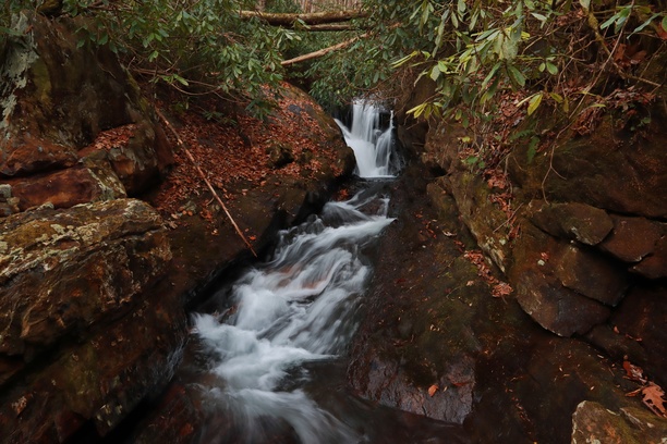
 main falls 25'
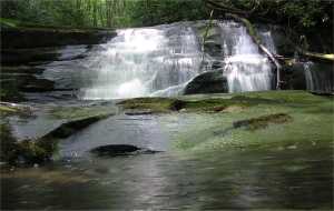 upper drop
| WGS84 | |
| 35.323400 | -84.067660 |
| 35° 19.404'N | 84° 4.06'W |
| 35° 19' 24.2"N | 84° 4' 3.6"W |
| 16S 766563E 3912854N | |
| convert to NAD27 | |
MAPS
Select one of the following maps to display this waypoint (WGS84).
GPS
Remarks:
Reference: Sharon Blackstock
visible from N River Rd., above the falls are a series of step cascades,
starting with a 9' drop.
main falls 25'
upper drop
Brian Solomon reports more waterfalls downstream.
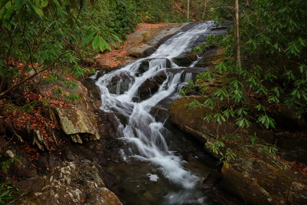
 Zig-zag falls 25' @ 35.323573,-84.068854
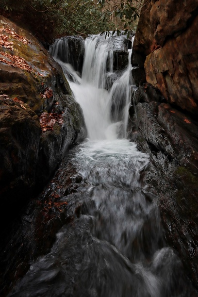 Chute falls 12' @ 35.323494,-84.069212
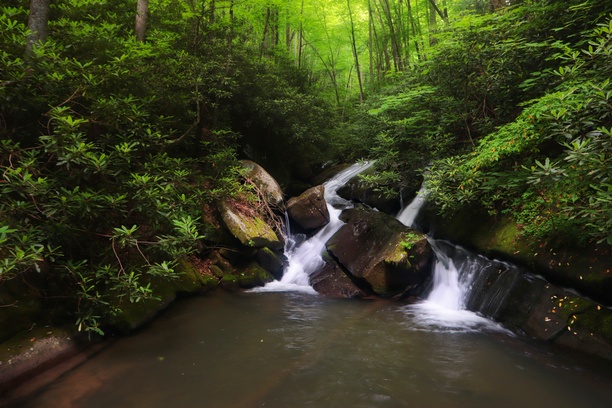
 cascade 25'
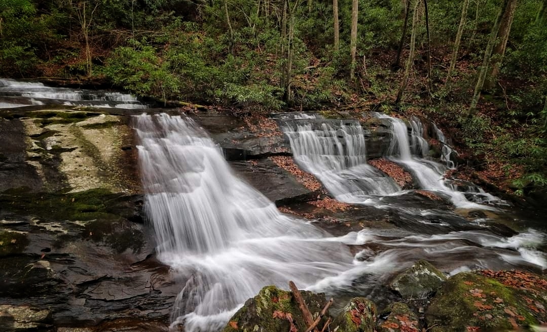
 Sweet T falls 38' @ 35.323725,-84.070195
 Triple Delight falls 22' @ 35.323206,-84.072454