Tennessee Landforms -- waterfalls| WGS84 |
| 35.319500 | -84.099100 |
| 35° 19.17'N | 84° 5.946'W |
| 35° 19' 10.2"N | 84° 5' 56.8"W |
| 16S 763717E 3912337N |
| convert to NAD27 |
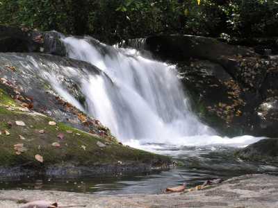
North River Falls 9'
Waypoint: MOF023 35.319500,-84.099100
County: Monroe landforms of Monroe county
Locale: Cherokee National Forest
popup list of
nearby landforms (mileage, bearing)
MAPS
Select one of the following maps to display this waypoint (WGS84).
GPS
Remarks:
Tennessee landforms
home
arches
waterfalls
rocks
peaks
balds
sinks
lakes
regions
county
GSMNP landforms (TN/NC)
BSF landforms (TN/KY)
or nearby
lookout towers
Chuck Sutherland's www.tnlandforms.com the future (2024)
 ©
Tom Dunigan
©
Tom Dunigan