Tennessee Landforms -- waterfalls| WGS84 |
| 35.182514 | -85.693379 |
| 35° 10.951'N | 85° 41.603'W |
| 35° 10' 57.1"N | 85° 41' 36.2"W |
| 16S 618969E 3894065N |
| convert to NAD27 |
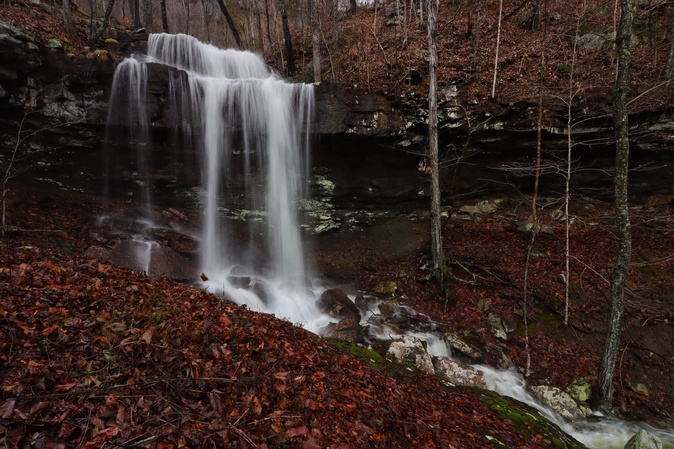
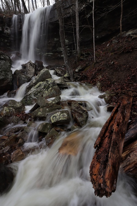
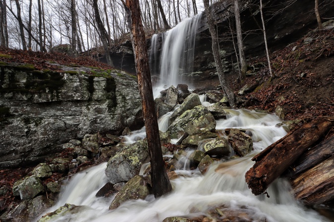
Bambi Falls 35'
Waypoint: MIF037 35.182514,-85.693379
County: Marion landforms of Marion county
popup list of
nearby landforms (mileage, bearing)
MAPS
Select one of the following maps to display this waypoint (WGS84).
GPS
Remarks:
Reference and photos: Brian Solomon
Tennessee landforms
home
arches
waterfalls
rocks
peaks
balds
sinks
lakes
regions
county
GSMNP landforms (TN/NC)
BSF landforms (TN/KY)
or nearby
lookout towers
Chuck Sutherland's www.tnlandforms.com the future (2024)
 ©
Tom Dunigan
©
Tom Dunigan